
Thank you for supporting this site ❤️
Make a donation
Make a donation
Island Green topographic map
Click on the map to display elevation.
Thank you for supporting this site ❤️
Make a donation
Make a donation
About this map
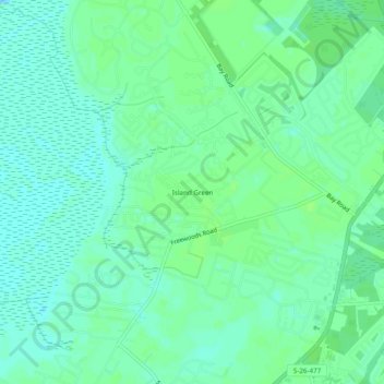
Name: Island Green topographic map, elevation, terrain.
Location: Island Green, Horry County, South Carolina, United States (33.62132 -79.07241 33.66132 -79.03241)
Average elevation: 5 m
Minimum elevation: -2 m
Maximum elevation: 9 m
Thank you for supporting this site ❤️
Make a donation
Make a donation
Other topographic maps
Click on a map to view its topography, its elevation and its terrain.