Murghob District topographic map
Interactive map
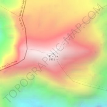
Click on the map to display elevation.
About this map
Name: Murghob District topographic map, elevation, terrain.
Average elevation: 6,100 m
Minimum elevation: 5,087 m
Maximum elevation: 6,862 m

Click on the map to display elevation.
Name: Murghob District topographic map, elevation, terrain.
Average elevation: 6,100 m
Minimum elevation: 5,087 m
Maximum elevation: 6,862 m