
Thank you for supporting this site ❤️
Make a donation
Make a donation
Brahmani River topographic map
Click on the map to display elevation.
Thank you for supporting this site ❤️
Make a donation
Make a donation
About this map
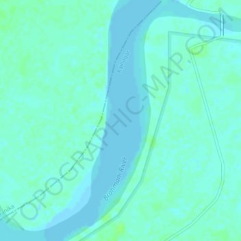
Name: Brahmani River topographic map, elevation, terrain.
Location: Brahmani River, Rajnagar, Kendrapara District, Odisha, India (20.61437 86.74431 20.64766 86.77220)
Average elevation: 3 m
Minimum elevation: -1 m
Maximum elevation: 9 m
Thank you for supporting this site ❤️
Make a donation
Make a donation