
Ferreñafe topographic map
Interactive map
Click on the map to display elevation.
About this map
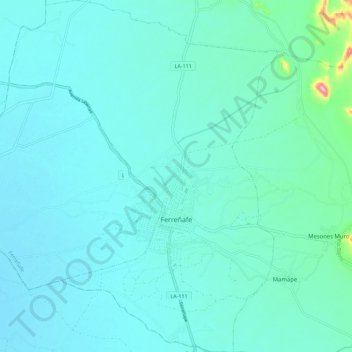
Name: Ferreñafe topographic map, elevation, terrain.
Location: Ferreñafe, Provincia de Ferreñafe, Lambayeque, Perú (-6.68144 -79.84154 -6.56960 -79.75561)
Average elevation: 44 m
Minimum elevation: 22 m
Maximum elevation: 211 m