
Thank you for supporting this site ❤️
Make a donation
Make a donation
Amanat River topographic map
Click on the map to display elevation.
Thank you for supporting this site ❤️
Make a donation
Make a donation
About this map
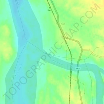
Name: Amanat River topographic map, elevation, terrain.
Location: Amanat River, Padwa, Palamu, Jharkhand, India (24.10948 84.06215 24.11792 84.07992)
Average elevation: 202 m
Minimum elevation: 190 m
Maximum elevation: 215 m
Thank you for supporting this site ❤️
Make a donation
Make a donation