
Kodigadde topographic map
Interactive map
Click on the map to display elevation.
About this map
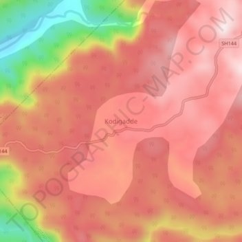
Name: Kodigadde topographic map, elevation, terrain.
Location: Kodigadde, Siddapura taluk, Uttara Kannada, Karnataka, India (14.32455 74.62557 14.36455 74.66557)
Average elevation: 398 m
Minimum elevation: 59 m
Maximum elevation: 556 m