
Maitínez topographic map
Interactive map
Click on the map to display elevation.
About this map
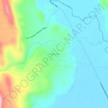
Name: Maitínez topographic map, elevation, terrain.
Location: Maitínez, El Naranjo, San Luis Potosi, Mexico (22.35282 -99.31300 22.39282 -99.27300)
Average elevation: 311 m
Minimum elevation: 242 m
Maximum elevation: 528 m