
Matora topographic map
Click on the map to display elevation.
About this map
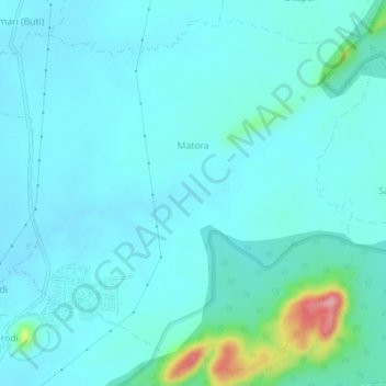
Name: Matora topographic map, elevation, terrain.
Location: Matora, Bhandara Taluka, Bhandara, Maharashtra, India (21.15601 79.69820 21.19516 79.74419)
Average elevation: 266 m
Minimum elevation: 245 m
Maximum elevation: 402 m