
Lauperswil topographic map
Interactive map
Click on the map to display elevation.
About this map
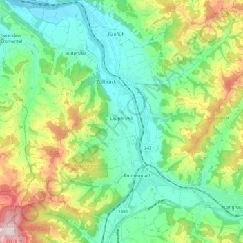
Name: Lauperswil topographic map, elevation, terrain.
Average elevation: 764 m
Minimum elevation: 592 m
Maximum elevation: 1,114 m
Auf dem Gebiet der Gemeinde liegt die Ruine der Höhenburg Wartenstein. Der Zeitpunkt der Erbauung ist nicht genau bekannt. Als erste Besitzer werden ab 1228 die Ritter Swaro von Wartenstein genannt.