
Yellur topographic map
Interactive map
Click on the map to display elevation.
About this map
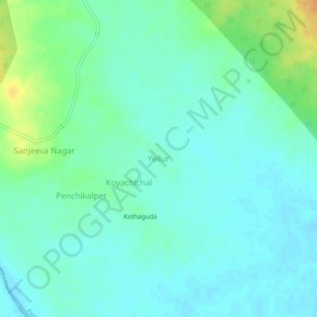
Name: Yellur topographic map, elevation, terrain.
Average elevation: 140 m
Minimum elevation: 131 m
Maximum elevation: 164 m
Other topographic maps
Click on a map to view its topography, its elevation and its terrain.
Nandigaon
India > Telangana > Penchikalpet mandal > Nandigaon
Nandigaon, Penchikalpet mandal, Komram Bheem, Telangana, India
Average elevation: 147 m