
Bhilangna River topographic map
Interactive map
Click on the map to display elevation.
About this map
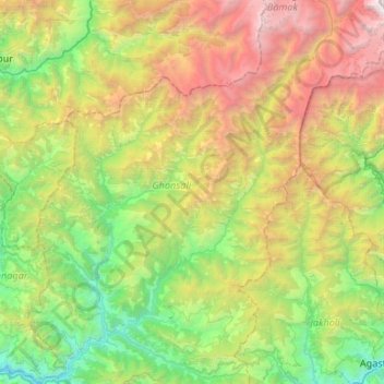
Name: Bhilangna River topographic map, elevation, terrain.
Average elevation: 2,544 m
Minimum elevation: 693 m
Maximum elevation: 6,274 m
Other topographic maps
Click on a map to view its topography, its elevation and its terrain.
Jamroli
India > Uttarakhand > Ghansali
Jamroli, Ghansali, Tehri Garhwal, Uttarakhand, India
Average elevation: 2,140 m
shrikol
India > Uttarakhand > Ghansali > chamyala
shrikol, chamyala, Ghansali, Tehri Garhwal, Uttarakhand, 249181, India
Average elevation: 1,259 m
sakari
India > Uttarakhand > Ghansali > Pauli
sakari, Pauli, Ghansali, Tehri Garhwal, Uttarakhand, India
Average elevation: 1,469 m
beleshwar
India > Uttarakhand > Ghansali > beleshwar
beleshwar, Ghansali, Tehri Garhwal, Uttarakhand, 249181, India
Average elevation: 1,225 m