
Angallu topographic map
Interactive map
Click on the map to display elevation.
About this map
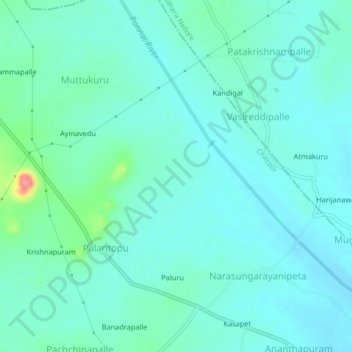
Name: Angallu topographic map, elevation, terrain.
Location: Angallu, Chittoor, Andhra Pradesh, India (13.16691 79.17850 13.20691 79.21850)
Average elevation: 263 m
Minimum elevation: 247 m
Maximum elevation: 339 m