
Thank you for supporting this site ❤️
Make a donation
Make a donation
Kalmo topographic map
Click on the map to display elevation.
Thank you for supporting this site ❤️
Make a donation
Make a donation
About this map
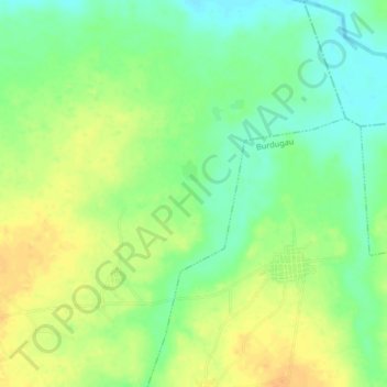
Name: Kalmo topographic map, elevation, terrain.
Location: Kalmo, Dan Murabu, Kankara, Katsina, Nigeria (11.93482 7.47893 11.97482 7.51893)
Average elevation: 568 m
Minimum elevation: 551 m
Maximum elevation: 585 m
Thank you for supporting this site ❤️
Make a donation
Make a donation