
Thank you for supporting this site ❤️
Make a donation
Make a donation
Fahl topographic map
Click on the map to display elevation.
Thank you for supporting this site ❤️
Make a donation
Make a donation
About this map
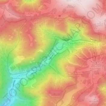
Name: Fahl topographic map, elevation, terrain.
Location: Fahl, Todtnau, Landkreis Lörrach, Baden-Württemberg, Deutschland (47.83291 7.97604 47.87291 8.01604)
Average elevation: 1,180 m
Minimum elevation: 715 m
Maximum elevation: 1,485 m
Thank you for supporting this site ❤️
Make a donation
Make a donation