
Thank you for supporting this site ❤️
Make a donation
Make a donation
Gurunarsa topographic map
Click on the map to display elevation.
Thank you for supporting this site ❤️
Make a donation
Make a donation
About this map
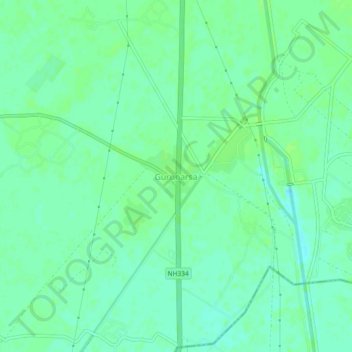
Name: Gurunarsa topographic map, elevation, terrain.
Location: Gurunarsa, Roorkee, Haridwar, Uttarakhand, 247670, India (29.68026 77.82941 29.72026 77.86941)
Average elevation: 260 m
Minimum elevation: 254 m
Maximum elevation: 263 m
Thank you for supporting this site ❤️
Make a donation
Make a donation
Other topographic maps
Click on a map to view its topography, its elevation and its terrain.