
Daulatkhan topographic map
Interactive map
Click on the map to display elevation.
About this map
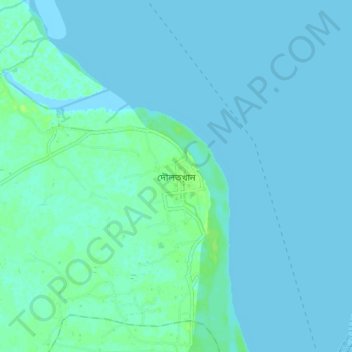
Name: Daulatkhan topographic map, elevation, terrain.
Average elevation: 2 m
Minimum elevation: -2 m
Maximum elevation: 11 m
Other topographic maps
Click on a map to view its topography, its elevation and its terrain.
Khal from Moulovi bazar to Dowlatkhan
Bangladesh > Barisal Division > Doulatkhan Subdistrict
Khal from Moulovi bazar to Dowlatkhan, Doulatkhan Subdistrict, Bhola District, Barisal Division, Bangladesh
Average elevation: 5 m