
Narayanpur topographic map
Interactive map
Click on the map to display elevation.
About this map
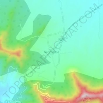
Name: Narayanpur topographic map, elevation, terrain.
Location: Narayanpur, Purandhar, Maharashtra, 412302, India (18.28154 73.95482 18.32154 73.99482)
Average elevation: 924 m
Minimum elevation: 781 m
Maximum elevation: 1,327 m
Other topographic maps
Click on a map to view its topography, its elevation and its terrain.