
Klein Köris topographic map
Interactive map
Click on the map to display elevation.
About this map
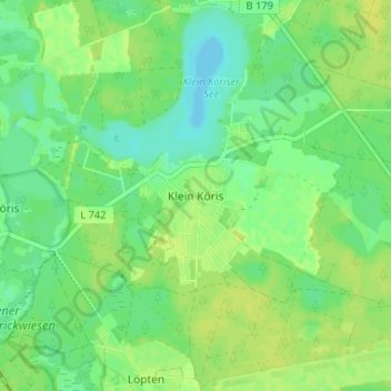
Name: Klein Köris topographic map, elevation, terrain.
Average elevation: 39 m
Minimum elevation: 30 m
Maximum elevation: 46 m
Other topographic maps
Click on a map to view its topography, its elevation and its terrain.
Lübben (Spreewald)
Allemagne > Brandebourg > Dahme-Spreewald
Lübben (Spreewald), Dahme-Spreewald, Brandebourg, 15907, Allemagne
Average elevation: 53 m