
Gluringen topographic map
Interactive map
Click on the map to display elevation.
About this map
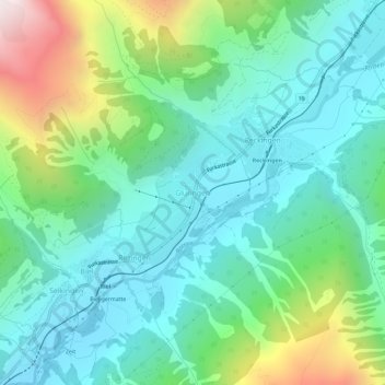
Name: Gluringen topographic map, elevation, terrain.
Location: Gluringen, Goms, Wallis, 1357, Schweiz (46.44408 8.21257 46.48408 8.25257)
Average elevation: 1,624 m
Minimum elevation: 1,259 m
Maximum elevation: 2,666 m