
Uitdam topographic map
Interactive map
Click on the map to display elevation.
About this map
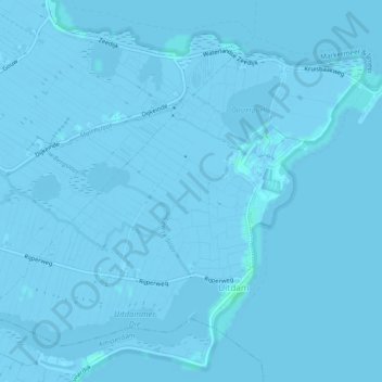
Name: Uitdam topographic map, elevation, terrain.
Location: Uitdam, Waterland, Noord-Holland, Nederland (52.41513 5.04110 52.43869 5.08877)
Average elevation: -1 m
Minimum elevation: -6 m
Maximum elevation: 4 m