
Veen topographic map
Interactive map
Click on the map to display elevation.
About this map
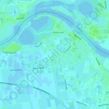
Name: Veen topographic map, elevation, terrain.
Location: Veen, Altena, Noord-Brabant, Nederland (51.76635 5.08094 51.78765 5.11609)
Average elevation: 2 m
Minimum elevation: -2 m
Maximum elevation: 7 m