
Dolores topographic map
Interactive map
Click on the map to display elevation.
About this map
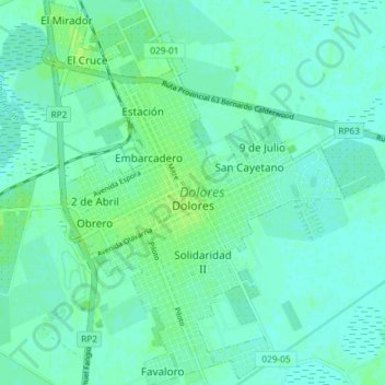
Name: Dolores topographic map, elevation, terrain.
Location: Dolores, Partido de Dolores, Buenos Aires, Argentina (-36.34221 -57.70470 -36.28710 -57.64984)
Average elevation: 8 m
Minimum elevation: 5 m
Maximum elevation: 14 m