
Itter topographic map
Interactive map
Click on the map to display elevation.
About this map
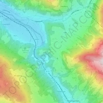
Name: Itter topographic map, elevation, terrain.
Location: Itter, Bezirk Kitzbühel, Tyrol, 6305, Austria (47.45019 12.12345 47.49019 12.16345)
Average elevation: 754 m
Minimum elevation: 535 m
Maximum elevation: 1,242 m