
Ōfunato topographic map
Interactive map
Click on the map to display elevation.
About this map
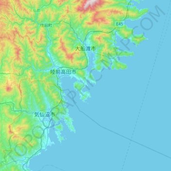
Name: Ōfunato topographic map, elevation, terrain.
Location: Ōfunato, Präfektur Iwate, Tōhoku, Japan (38.76189 141.61666 39.20326 142.19592)
Average elevation: 151 m
Minimum elevation: -1 m
Maximum elevation: 1,333 m
Other topographic maps
Click on a map to view its topography, its elevation and its terrain.