
Botz topographic map
Interactive map
Click on the map to display elevation.
About this map
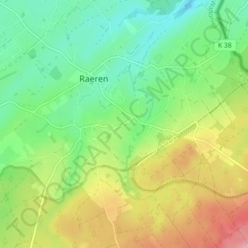
Name: Botz topographic map, elevation, terrain.
Location: Botz, Raeren, Verviers, Lüttich, Wallonien, 4730, Belgien (50.64883 6.09866 50.68883 6.13866)
Average elevation: 321 m
Minimum elevation: 256 m
Maximum elevation: 429 m