
La Valle topographic map
Interactive map
Click on the map to display elevation.
About this map
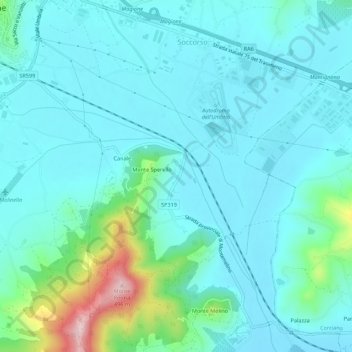
Name: La Valle topographic map, elevation, terrain.
Location: La Valle, Magione, Perugia, Umbria, 06063, Italy (43.10356 12.21265 43.14356 12.25265)
Average elevation: 265 m
Minimum elevation: 221 m
Maximum elevation: 486 m