
Town of Clay topographic map
Interactive map
Click on the map to display elevation.
About this map
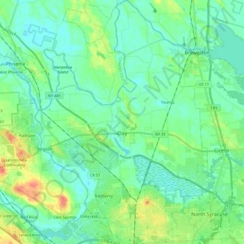
Name: Town of Clay topographic map, elevation, terrain.
Location: Town of Clay, Onondaga County, New York, United States (43.11546 -76.28296 43.27159 -76.12773)
Average elevation: 120 m
Minimum elevation: 106 m
Maximum elevation: 160 m