
Thank you for supporting this site ❤️
Make a donation
Make a donation
Stephenson Park topographic map
Click on the map to display elevation.
Thank you for supporting this site ❤️
Make a donation
Make a donation
About this map
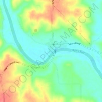
Name: Stephenson Park topographic map, elevation, terrain.
Location: Stephenson Park, Lowell, Henry County, Iowa, United States (40.82813 -91.43780 40.82984 -91.43585)
Average elevation: 189 m
Minimum elevation: 164 m
Maximum elevation: 226 m
Thank you for supporting this site ❤️
Make a donation
Make a donation