
Ribaritsa topographic map
Interactive map
Click on the map to display elevation.
About this map
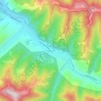
Name: Ribaritsa topographic map, elevation, terrain.
Location: Ribaritsa, Teteven, Lovech, 5720, Bulgaria (42.82061 24.35079 42.86061 24.39079)
Average elevation: 782 m
Minimum elevation: 533 m
Maximum elevation: 1,163 m
Other topographic maps
Click on a map to view its topography, its elevation and its terrain.