
Stans topographic map
Interactive map
Click on the map to display elevation.
About this map
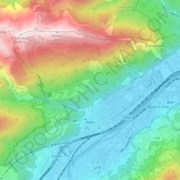
Name: Stans topographic map, elevation, terrain.
Location: Stans, Schwaz, Tyrol, 6135, Austria (47.35714 11.66024 47.40131 11.75331)
Average elevation: 1,040 m
Minimum elevation: 523 m
Maximum elevation: 2,131 m