
Kailashahar topographic map
Interactive map
Click on the map to display elevation.
About this map
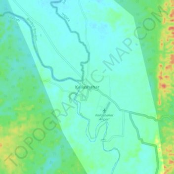
Name: Kailashahar topographic map, elevation, terrain.
Location: Kailashahar, Gournagar, Unokoti, Tripura, 799277, India (24.27943 91.95843 24.35943 92.03843)
Average elevation: 33 m
Minimum elevation: 21 m
Maximum elevation: 72 m