
Thank you for supporting this site ❤️
Make a donation
Make a donation
Suntikoppa topographic map
Click on the map to display elevation.
Thank you for supporting this site ❤️
Make a donation
Make a donation
About this map
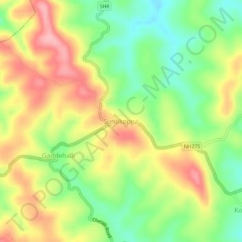
Name: Suntikoppa topographic map, elevation, terrain.
Location: Suntikoppa, Somawarpet taluk, Kodagu, Karnataka, 571237, India (12.43290 75.81200 12.47290 75.85200)
Average elevation: 970 m
Minimum elevation: 901 m
Maximum elevation: 1,045 m
Thank you for supporting this site ❤️
Make a donation
Make a donation