
Thank you for supporting this site ❤️
Make a donation
Make a donation
Gollenberg topographic map
Click on the map to display elevation.
Thank you for supporting this site ❤️
Make a donation
Make a donation
About this map
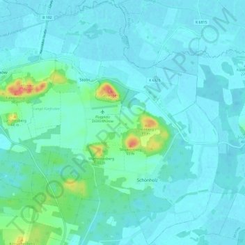
Name: Gollenberg topographic map, elevation, terrain.
Location: Gollenberg, Rhinow, Havelland, Brandenburg, Deutschland (52.70094 12.35439 52.77172 12.44581)
Average elevation: 34 m
Minimum elevation: 24 m
Maximum elevation: 99 m
Thank you for supporting this site ❤️
Make a donation
Make a donation