
Thank you for supporting this site ❤️
Make a donation
Make a donation
Central topographic map
Click on the map to display elevation.
Thank you for supporting this site ❤️
Make a donation
Make a donation
About this map
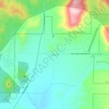
Name: Central topographic map, elevation, terrain.
Location: Central, Washington County, Utah, 84722, United States (37.39665 -113.64441 37.43665 -113.60441)
Average elevation: 1,636 m
Minimum elevation: 1,540 m
Maximum elevation: 1,883 m
Thank you for supporting this site ❤️
Make a donation
Make a donation