
Jackson County topographic map
Interactive map
Click on the map to display elevation.
About this map
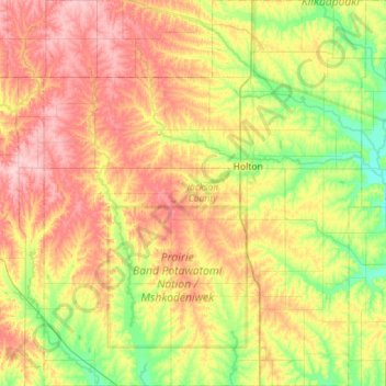
Name: Jackson County topographic map, elevation, terrain.
Location: Jackson County, Kansas, Vereinigte Staaten von Amerika (39.21631 -96.03685 39.65301 -95.56408)
Average elevation: 348 m
Minimum elevation: 283 m
Maximum elevation: 433 m