
Thank you for supporting this site ❤️
Make a donation
Make a donation
Katkol topographic map
Click on the map to display elevation.
Thank you for supporting this site ❤️
Make a donation
Make a donation
About this map
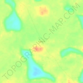
Name: Katkol topographic map, elevation, terrain.
Location: Katkol, Maïné-Soroa, Diffa Region, Niger (13.82933 12.28638 13.86933 12.32638)
Average elevation: 331 m
Minimum elevation: 308 m
Maximum elevation: 349 m
Thank you for supporting this site ❤️
Make a donation
Make a donation