
Thank you for supporting this site ❤️
Make a donation
Make a donation
Moran topographic map
Click on the map to display elevation.
Thank you for supporting this site ❤️
Make a donation
Make a donation
About this map
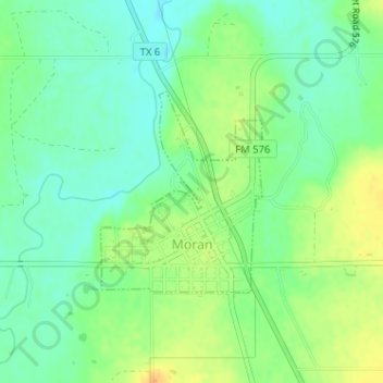
Name: Moran topographic map, elevation, terrain.
Location: Moran, Shackelford County, Texas, United States (32.54226 -99.17419 32.55644 -99.16069)
Average elevation: 411 m
Minimum elevation: 398 m
Maximum elevation: 428 m
Thank you for supporting this site ❤️
Make a donation
Make a donation