
Thank you for supporting this site ❤️
Make a donation
Make a donation
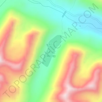
Lhamo Latso topographic map
Click on the map to display elevation.
Thank you for supporting this site ❤️
Make a donation
Make a donation
Lhamo Latso
Lhamo Latso... [is] a brilliant azure jewel set in a ring of grey mountains. The elevation and the surrounding peaks combine to give it a highly changeable climate, and the continuous passage of cloud and wind creates a constantly moving pattern on the surface of the waters. On that surface visions appear to those who seek them in the right frame of mind.
Thank you for supporting this site ❤️
Make a donation
Make a donation
About this map
Name: Lhamo Latso topographic map, elevation, terrain.
Location: Lhamo Latso, Cuijiu, Gyatsa County, Shannan, Tibet, China (29.51270 92.73542 29.52118 92.74139)
Average elevation: 5,104 m
Minimum elevation: 4,811 m
Maximum elevation: 5,473 m
Thank you for supporting this site ❤️
Make a donation
Make a donation