
Prudhoe Bay topographic map
Interactive map
Click on the map to display elevation.
About this map
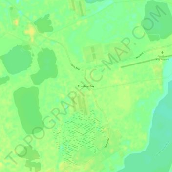
Name: Prudhoe Bay topographic map, elevation, terrain.
Average elevation: 10 m
Minimum elevation: 0 m
Maximum elevation: 20 m
Nach Prudhoe Bay führt von Fairbanks der 666 Kilometer lange und bis auf die Höhe von 1415 m ansteigende Dalton Highway, der lange Zeit für den Privatverkehr gesperrt war.