
Grand Coo topographic map
Interactive map
Click on the map to display elevation.
About this map
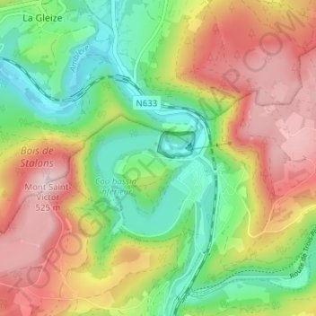
Name: Grand Coo topographic map, elevation, terrain.
Location: Grand Coo, Stablo, Verviers, Lüttich, Wallonien, 4970, Belgien (50.37337 5.84957 50.41337 5.88957)
Average elevation: 345 m
Minimum elevation: 203 m
Maximum elevation: 517 m