
Nandur topographic map
Interactive map
Click on the map to display elevation.
About this map
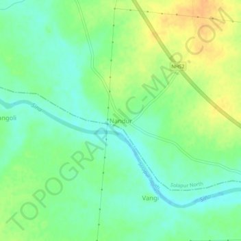
Name: Nandur topographic map, elevation, terrain.
Location: Nandur, Solapur North, Solapur, Maharashtra, India (17.55246 75.81725 17.59246 75.85725)
Average elevation: 438 m
Minimum elevation: 424 m
Maximum elevation: 457 m