
Panketal topographic map
Interactive map
Click on the map to display elevation.
About this map
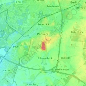
Name: Panketal topographic map, elevation, terrain.
Location: Panketal, Barnim, Brandenburg, 16341, Duitsland (52.60063 13.47453 52.67895 13.58075)
Average elevation: 67 m
Minimum elevation: 49 m
Maximum elevation: 115 m