
Kothaguda topographic map
Interactive map
Click on the map to display elevation.
About this map
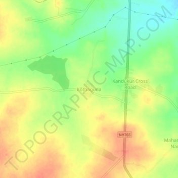
Name: Kothaguda topographic map, elevation, terrain.
Location: Kothaguda, Kandukur mandal, Rangareddy, Telangana, India (17.05094 78.44504 17.09094 78.48504)
Average elevation: 639 m
Minimum elevation: 613 m
Maximum elevation: 660 m