
Mathurapur topographic map
Interactive map
Click on the map to display elevation.
About this map
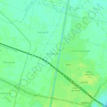
Name: Mathurapur topographic map, elevation, terrain.
Location: Mathurapur, Bhojpur, Rohtas, Bihar, 821307, India (24.90618 84.15712 24.94618 84.19712)
Average elevation: 107 m
Minimum elevation: 100 m
Maximum elevation: 114 m