
Thank you for supporting this site ❤️
Make a donation
Make a donation
Schelldorf topographic map
Click on the map to display elevation.
Thank you for supporting this site ❤️
Make a donation
Make a donation
About this map
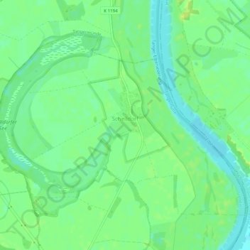
Name: Schelldorf topographic map, elevation, terrain.
Location: Schelldorf, Tangerhütte, Stendal, Sachsen-Anhalt, Deutschland (52.45963 11.95291 52.48121 12.00217)
Average elevation: 35 m
Minimum elevation: 26 m
Maximum elevation: 42 m
Thank you for supporting this site ❤️
Make a donation
Make a donation
Other topographic maps
Click on a map to view its topography, its elevation and its terrain.