
Klopein topographic map
Interactive map
Click on the map to display elevation.
About this map
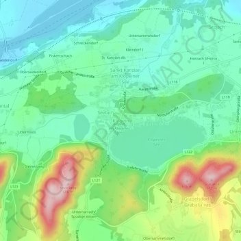
Name: Klopein topographic map, elevation, terrain.
Average elevation: 476 m
Minimum elevation: 389 m
Maximum elevation: 677 m
Other topographic maps
Click on a map to view its topography, its elevation and its terrain.
Klopeiner See
Österreich > Kärnten > Bezirk Völkermarkt > Klopein
Klopeiner See, Klopein, Sankt Kanzian am Klopeiner See, Bezirk Völkermarkt, Kärnten, 9122, Österreich
Average elevation: 486 m