
Huls topographic map
Interactive map
Click on the map to display elevation.
About this map
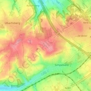
Name: Huls topographic map, elevation, terrain.
Location: Huls, Simpelveld, Limburg, Niederlande, 6369, Niederlande (50.82414 5.95148 50.86414 5.99148)
Average elevation: 172 m
Minimum elevation: 115 m
Maximum elevation: 217 m