
Bagaha topographic map
Interactive map
Click on the map to display elevation.
About this map
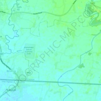
Name: Bagaha topographic map, elevation, terrain.
Location: Bagaha, Rupandehi, Lumbini, Western Development Region, Nepal (27.47516 83.46346 27.50275 83.51284)
Average elevation: 106 m
Minimum elevation: 102 m
Maximum elevation: 112 m