
Mühldorf topographic map
Interactive map
Click on the map to display elevation.
About this map
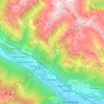
Name: Mühldorf topographic map, elevation, terrain.
Location: Mühldorf, Bezirk Spittal an der Drau, Karinthië, Oostenrijk (46.83512 13.28693 46.93364 13.39036)
Average elevation: 1,514 m
Minimum elevation: 556 m
Maximum elevation: 2,790 m