
Murray County topographic map
Interactive map
Click on the map to display elevation.
About this map
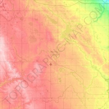
Name: Murray County topographic map, elevation, terrain.
Location: Murray County, Minnesota, États-Unis d'Amérique (43.84900 -96.06532 44.19869 -95.46220)
Average elevation: 485 m
Minimum elevation: 356 m
Maximum elevation: 583 m